
93960 in the Soledad ZIP Code Directory
The only verified Soledad ZIP in the research is 93960. Its footprint is wider than the incorporated city. The postal label reaches the city, correctional facilities, nearby farms, and extensive unincorporated Monterey County. That makes 93960 a useful first filter for mail and some specialized registers, but not a clean boundary for a resident lookup. A city name printed beside the ZIP does not settle whether the parcel sits inside city limits.
| ZIP | Areas Covered | Post Office | Notes |
|---|---|---|---|
| 93960 | Incorporated Soledad, correctional facilities, nearby farms, and extensive unincorporated Monterey County | Soledad Post Office, 150 Kidder St. | Only verified Soledad ZIP; not coterminous with the city |
No additional Soledad ZIP, separate PO-box-only ZIP, unique institutional ZIP, or ZIP split was verified. The absence matters. A short list with one known row is more accurate than a padded postal directory that assigns nearby mailing areas to the city without evidence.
Note: A 93960 mailing address can identify postal service geography without proving municipal jurisdiction or current occupancy.
Soledad ZIP 93960 Beyond City Hall
Soledad's development and geography record reports 185 farm operations across the broad 93960 area and says most ZIP acreage is unincorporated. Farms, public institutions, correctional facilities, and ordinary city parcels can therefore share one delivery label. A population comparison that treats the ZIP as a row of similar households will miss that mix. The postal map is a set of delivery routes, not a count of the people who share one kind of address.
The same distinction affects records. GIS and permits key on a physical situs or parcel number. The Recorder keys on parties, documents, and legal descriptions. The postal service validates delivery. A court or voter system uses its own identity and access rules. The shared ZIP may help sort a search, but it cannot make those systems interchangeable.
For a city-level context, the Soledad development and geography document is the source for the farm and boundary discussion. Its ZIP facts should be read alongside the official postal record and parcel tools, not as a substitute for either.
Miramonte and Soledad ZIP Boundaries
Miramonte, north of Soledad, shared Soledad mailing geography while remaining outside the then-current city boundary. That is the local mismatch behind many ZIP searches: the mailing city can be familiar even when the legal jurisdiction is different. LAFCO reported 2,993.6 acres inside the city, a proposed 653.6-acre expansion, and a separate 68.7-acre sphere west of the boundary. Those figures describe governance and planning geography, not new ZIP codes.
The same report described a proposed development with 2,392 dwellings and 9,712 residents. Those projected figures do not turn Miramonte into an incorporated part of Soledad, and they do not create a verified extra ZIP for the directory. When an address sits near the line, retain the postal label, then confirm the parcel, assessor coverage, and public agency responsible for the record.
A ZIP search should therefore record two answers: “Which ZIP serves the address?” and “Which jurisdiction keeps the record?” They may be different. The distinction is especially important when a request goes to the City Clerk rather than a county or state custodian.
Soledad ZIP Post Office Services
The official Soledad Post Office listing places the facility at 150 Kidder Street and gives the local phone number as 831-678-9072. Retail hours are Monday through Friday from 9 to 4:30. The PO Box lobby is open Monday through Friday from 6 to 5 and Saturday from 6 to 3. These are service details for validating a mailing route, not evidence that every 93960 address belongs to the incorporated city.
The USPS listing is the source for the post-office details used in the Soledad ZIP code directory.
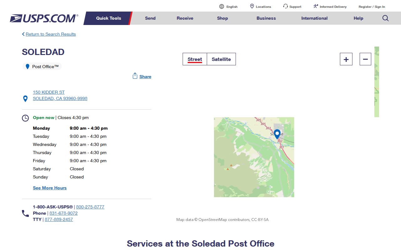
The post-office view is useful at the first step of a ZIP check. After the postal label is confirmed, move to the parcel, agency, or register that actually holds the name or address field needed.
Soledad ZIP Code, ZCTA, and City Limits
Postal and census geography use similar numbers for different purposes. The Census Bureau's Soledad QuickFacts reference describes a city geography, while a ZCTA approximates ZIP delivery areas for statistical work. Neither one changes the USPS route or the county parcel line. Definitions help keep a ZIP code search from claiming more than its source can show.
- ZIP code
- A USPS delivery-area label used to route mail. It is not automatically a city boundary.
- ZIP+4
- The ZIP code plus four more digits for a finer delivery segment, such as a block, building, or route.
- ZCTA
- A Census statistical approximation of ZIP delivery geography. It supports data summaries and does not establish municipal jurisdiction.
- PO-box ZIP
- A ZIP used for box delivery at a postal facility. No separate PO-box-only Soledad ZIP was verified.
- Unique ZIP
- A ZIP assigned to one high-volume address or institution. No unique Soledad ZIP was verified.
- Carrier route
- A smaller delivery grouping used by the postal system inside a broader ZIP area.
For Soledad, the practical rule is simple: USPS answers delivery, Census answers an approximation for statistics, and the city or county answers jurisdiction. A ZIP code directory can point toward the right place, but it cannot replace the record custodian.
Finding Soledad Residents by ZIP Code
A ZIP code can narrow a lawful search, but the available portals do not all accept ZIP input and none produces a verified list of every person in 93960. Use the following sequence when the postal area is the clue:
- Verify that the address uses 93960 through the official USPS location and delivery information.
- If an address is known, place it in the Monterey County Parcel Report and record the APN, situs, current-document reference, and visible parcel geometry.
- Use the Assessor's Property Inquiry with the Fee Parcel or Assessment Number. Do not expect a ZIP-wide owner or resident filter.
- Use a specialized register only for its stated purpose. CSLB and ABC can report license records by city or ZIP, while My Voter Status authenticates the person making the lookup.
- When the ZIP narrows to a street, switch to the Soledad street directory workflow for address-keyed records.
This process preserves the difference between a ZIP lead and an official resident record. A name from a license or business filing may be tied to an address of record, while a parcel result may identify an owner. Neither result alone proves who currently lives at a particular address.
What Soledad Portals Cannot Search by ZIP
The largest limitation in a Soledad ZIP code directory is not the postal label. It is the absence of a verified ZIP-wide assessor search. Monterey's public property inquiry accepts only a Fee Parcel number or Assessment Number. The county describes name and address searches as unavailable on the public-facing service. GIS can bridge a known address to an APN, but the map is not a resident roster.
| Portal or register | Captured input | Useful result | ZIP limitation |
|---|---|---|---|
| Property Inquiry | Fee Parcel or Assessment Number | Ownership, values, exemptions, status, and parcel characteristics | No verified name, address, or ZIP-wide filter |
| Parcel Report GIS | Find address or place; query, find, and identify | APN, situs, boundaries, values, and current reference | Known-address map workflow, not a ZIP-wide resident list |
| My Voter Status | First name, last name, birth date, and one ID route | Authenticated status, location, party, and election information | No casual third-party ZIP roster |
| CSLB or ABC | License, business, city, or ZIP fields | Credential or alcohol-license records | Only the specialized license population |
No verified extra ZIP or assessor ZIP-wide filter was found. The California unclaimed-property search can provide a name, holder, and location lead, but unclaimed property is not proof of a current Soledad residence.
The official Controller search is the source for the name-based unclaimed-property route described here.
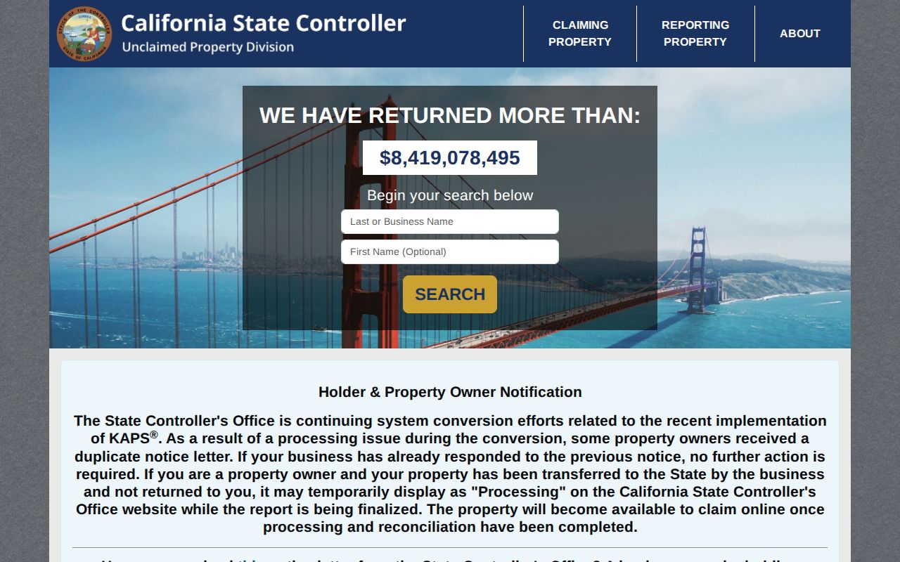
The unclaimed-property result belongs to a specific state register. It should remain separate from the postal search and be verified through the Controller when a claim is relevant.
Soledad Farms, Facilities, and ZIP Counts
Institutional geography changes how a Soledad population number should be read. LAFCO reported 5,948 institutionalized and 18,977 noninstitutionalized residents in its 2020 count. Correctional facilities materially affect city and ZIP comparisons, while the broad 93960 area also contains farms and unincorporated land. A ZIP-based count is therefore a mix of delivery geography and population categories, not a direct count of ordinary households.
The California Megan's Law search is another example of a specialized system. It offers name, map, or location modes with a legal-use notice. It is a registry-specific result and not a general list of residents who share 93960.
The official Megan's Law search illustrates why a ZIP filter must stay tied to the purpose and limits of its register.
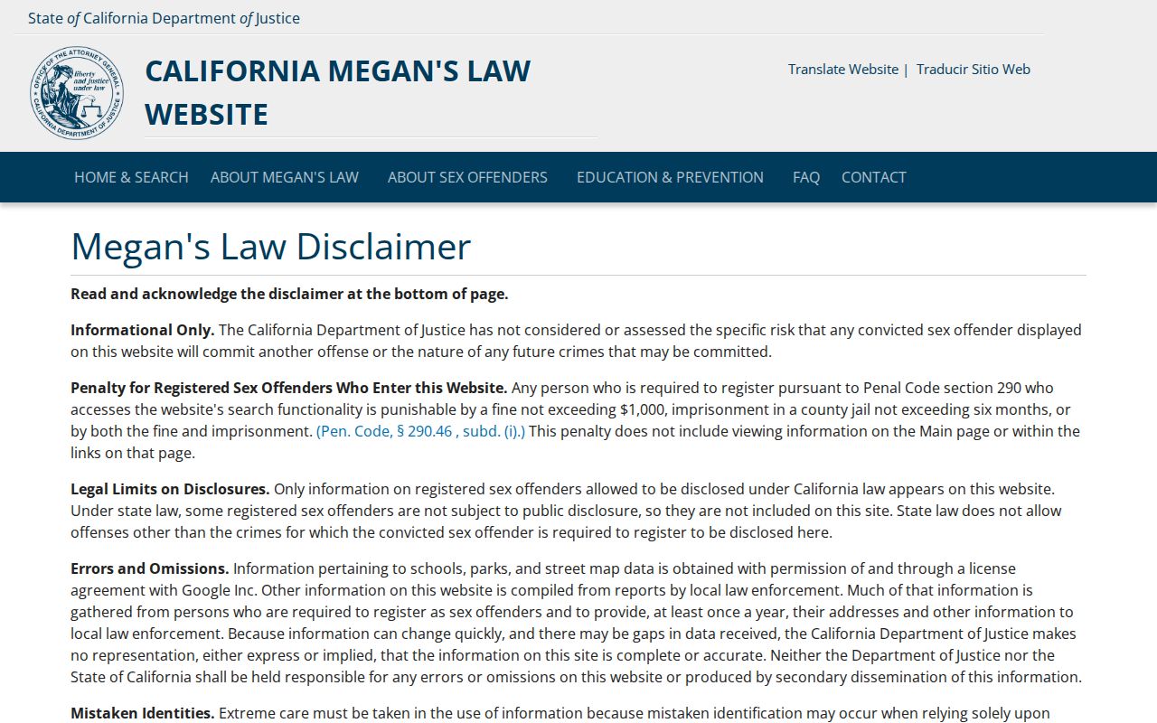
The registry image belongs to the specialized public-safety source, not to an ordinary postal search. Use its own notice and search controls rather than combining it with unrelated resident data.
Soledad's ZIP Lead Needs Situs Proof
Once a 93960 search produces a particular address, switch from postal terms to the physical record. Situs means the parcel's physical location. A mailing address routes correspondence and can differ from the situs. A legal description identifies the property through a lot, block, subdivision, or metes-and-bounds description. GIS and permit records key on the situs or APN, while the Recorder follows parties, document references, and legal descriptions.
The county's Parcel Report can show APN, ASMTNUM, land-use code, taxability, tax-rate area, values, situs, and physical characteristics. The county warns that GIS can differ from official rolls, surveys, and recorded maps. When an address is near Miramonte, an institutional facility, or the unincorporated edge, retain the ZIP as a delivery clue and verify the responsible jurisdiction before making a record request.
That final address check is why the Soledad ZIP code directory works best as the first layer of a search. ZIP geography narrows the map. Parcel, court, voter, vital, business, and license custodians answer the resident question.