
Soledad Neighbors: What a Block Record Shows
A Soledad neighbors lookup is a chain of sources, not one public roster. The Monterey County Parcel Report shows visible parcel geometry, APNs, situs information, values, and a current-document reference. The assessment roll adds ownership, status, tax-rate area, values, exemptions, and parcel characteristics when the identifier is known. The Recorder, survey maps, permit request, voter rules, and voluntary public organization pages answer different questions. Each source has a different access channel and a different limit.
| Source | What It Shows About a Block | Access |
|---|---|---|
| Parcel Report GIS | Boundaries, APNs, situs, values, physical data, and current-document reference | Free map at the County GIS viewer |
| Adjacent polygons | Parcels touching or near the selected polygon, not the people inside them | Click each visible parcel; no labeled public buffer tool was verified |
| Assessment roll | Owner, parcel status, tax-rate area, values, exemptions, and characteristics | Web by Fee Parcel or Assessment Number; counter or data request |
| Recorder and survey maps | Deed parties, legal descriptions, lot and block history, and linked map records | Recorder counter; free County Surveyor query |
| Building Research Record | Permit number, date issued, date finaled, and purpose by address or APN | $58.50 written request; no later than ten business days |
| Voter information | Registration details under an authenticated or qualified-purpose process | Self-lookup or regulated file request only |
| Public organization contacts | Voluntary public officers or contact points, not member households | Public page or direct organization contact when available |
An owner record can identify a person tied to a parcel, but it does not prove that the owner occupies it. A voter record has its own identity and disclosure rules. A public organization contact can help with an event or civic question, but it is not a membership roster. A block lookup becomes more reliable when every result is labeled by source and purpose.
Walk the Soledad Neighbors Parcel Map
The County GIS walk-through is the most direct way to move from one address to nearby parcels. The public Parcel Report interface supports “Find address or place,” then query, find, and identify actions. Search the known address, zoom until parcel lines appear, and treat the selected polygon as the starting point. The situs address and APN are the bridge to the assessment roll, permit request, survey record, and Recorder counter.
- Enter the known address in the Monterey County Parcel Report and confirm the displayed situs rather than relying on a mailing label.
- Click the subject polygon, record the APN or ASMTNUM and current-document reference, then inspect each touching or nearby polygon.
- Use the Fee Parcel or Assessment Number in the county Property Inquiry to compare status, values, exemptions, and physical characteristics.
- Compare the situs with any permitted mailing address. Neither one proves that a particular person currently occupies the parcel.
- When the question expands to a whole named street, use the Soledad street directory workflow instead of treating the immediate block as the whole street.
The situs-address service refreshes at 6 a.m. on weekdays and caps service records at 2,000. The public interface did not expose a labeled buffer button, although the underlying geometry services support distance queries. In practice, a neighbor lookup means clicking the visible polygons and keeping the map scale consistent.
Soledad Neighbors and Adjacent Polygons
Adjacent geometry answers a spatial question: which parcels touch or sit near the selected shape. It does not answer who is inside, who visits, or who shares a household. A tax mailing address can differ from the situs. A deed party can be an earlier owner. A permit applicant can be a person or business connected to work on the parcel. These records can support a block study without becoming a list of current Soledad neighbors.
| Source type | Strength | Limit |
|---|---|---|
| Official parcel and assessment records | Connect an identifier to boundaries, situs, owner fields, and parcel facts | Do not establish every occupant or household member |
| Deeds and survey records | Connect parties, legal descriptions, lots, blocks, and recorded instruments | Show recorded events, not a live block roster |
| Public organization contacts | Offer a voluntary path to an event or civic contact | Do not reveal a private membership list |
| Commercial neighbor tools | May assemble leads from mixed sources | Can merge same-name people, preserve stale fields, and are not official proof |
- Parcel
- A mapped unit of land identified by an APN or assessment number.
- Situs
- The physical location of the parcel, distinct from a tax-mailing address.
- Adjacent polygon
- A mapped shape that touches or lies near another shape. It describes space, not occupancy.
- Owner record
- A custodian's recorded ownership field, which should not be read as a statement about current residence.
For a whole-street chain, the county's current parcel layer and the historical street material belong in separate steps. A neighbor lookup should stay focused on the immediate block and preserve that distinction.
Soledad Neighbors Survey Records and Grid
When a block has changed shape or an old address no longer matches the current map, the County Surveyor's research database can bridge the gap. Survey records extend back to 1850 and are described as a library of tens of thousands of records. A query can return the record type, volume, page, date in YYYYMMDD form, title, coordinates, serial number, and a linked image or data URL. Those fields turn a visual block question into a traceable record request.
| Survey field | Why it helps a Soledad neighbors lookup |
|---|---|
| Type | Identifies the kind of survey or map record |
| Volume and page | Locates the record in the indexed series |
| Date | Places the block evidence in time |
| Title and serial number | Separates one mapped project from another |
| Coordinates | Connects the record to a location |
| Image or data URL | Provides the next inspection or download path |
The County Parcel Report service schema supplies the parcel-side fields, while the Library of Congress Soledad Sanborn map supplies a September 1910, three-sheet snapshot of streets and building footprints. Sanborn sheets are historic evidence, not a current parcel layer.
Compare the 1910 footprint with today's parcel geometry, then use the lot, block, legal description, or survey reference to explain a mismatch. That is often more dependable than forcing an old street label into a modern address search.
Soledad Neighbors Voter File Limits
California's voter system is designed for an authenticated voter or a qualified data requester, not casual browsing of Soledad neighbors. My Voter Status asks for first name, last name, date of birth, and one identity route: a California driver license or ID number, or the last four digits of a Social Security number. It can return registration status and location, party preference, language preference, polling information, and vote-by-mail or provisional status for the person completing the authentication.
The authenticated voter lookup is the source for the identity fields shown in the local voter workflow.
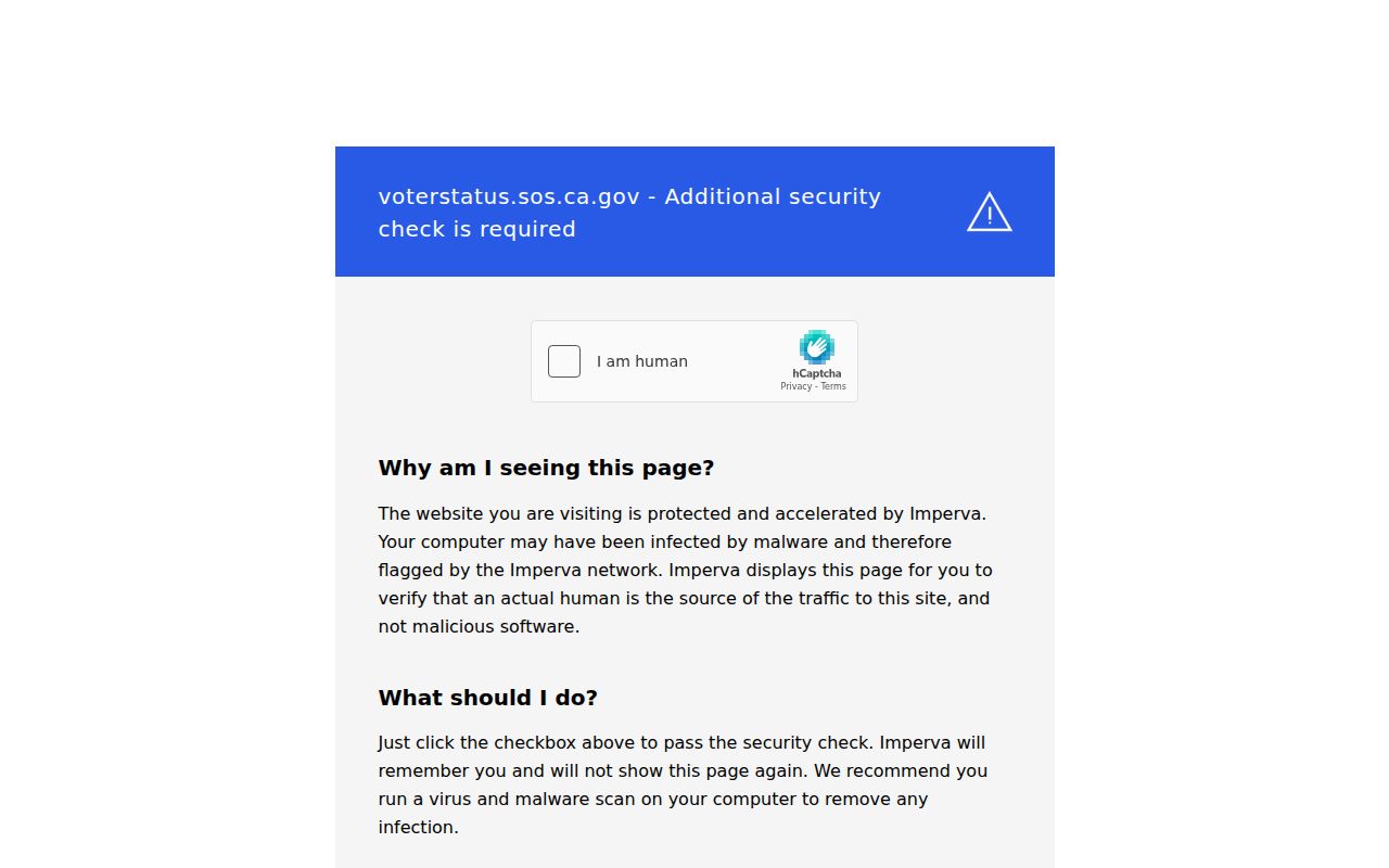
The voter-status view demonstrates why a neighbors search cannot simply turn a map into a list of registered people. It confirms the requester's own status rather than exposing an unidentified block.
Qualified voter-file disclosure can contain names, birth dates, registration dates, residential and mailing addresses, precinct, contact data, party, optional participation history, and political-district relations. It excludes driver-license or ID numbers, Social Security digits, unique identifiers, and signatures. Elections Code sections 2188 and 2194 limit use to qualified election, scholarly, journalistic, political, or governmental purposes, and section 18109 makes knowing unauthorized use a misdemeanor. Monterey's voter-data application requires a wet signature, photo ID, a qualifying purpose, and detailed intended use before review; the state voter-file guidance describes the qualified contents and exclusions.
Soledad Neighbors, Planning Labels, and Associations
Soledad planning labels can help orient a block, but they are not proof that a neighborhood association exists or that a person belongs to one. Research identifies Downtown/Veterans, Soledad High School/Santa Barbara Park, Vosti Park, Las Jicamas, and Santa Elena Mobile Home Park as geographic labels. They describe areas or landmarks. They do not establish a member roll, an HOA boundary, or a public list of neighbors.
| Contact or label | Verified result | Appropriate use |
|---|---|---|
| Neighborhood associations or HOA umbrella | No official Soledad umbrella or public member directory was located | Do not infer membership from a planning label or parcel |
| Public organization contact | Public officers or contact points may appear on a voluntary public page | Ask about an event or civic matter without requesting a private roster |
| Planning area name | Geographic orientation only | Use as a map clue, not as proof of association |
No authoritative online Soledad neighborhood-association, HOA, chamber-member, alumni, congregation, or neighborhood-member directory was located. That absence is a research result. Public contacts can be useful when an organization chooses to publish them, while member rosters remain a separate and unverified category.
Soledad Neighbors, Public Contacts, and Privacy
California privacy law gives people more control over data held by covered businesses. The CCPA and CPRA provide rights to know, delete subject to exceptions, correct, opt out of sale or sharing, limit sensitive-data use, and avoid discrimination. The California Attorney General privacy guidance explains the rights and the Global Privacy Control signal. Those rules concern business-held personal information and do not make every public record vanish.
The Attorney General's privacy guidance is the source for the rights summary used in the block privacy discussion.
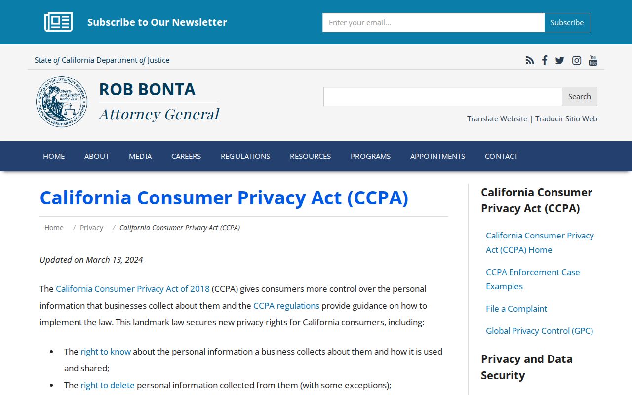
A privacy-rights request should go to the business or custodian that controls the data. It should not be used to demand a private membership roster from a neighborhood group.
California's DROP platform at privacy.ca.gov/drop offers one free deletion request to registered data brokers. Registration opened in January 2026, and broker processing began August 1, 2026. A person can use the platform for category-level deletion work, retain confirmations, and repeat a business-specific request if a listing returns. DROP does not override statutory records, court files, voter restrictions, DMV rules, or Safe at Home protection. The Attorney General's 2026 reminder places the tool in that broader privacy-rights context.
The official DROP platform shows the statewide deletion route available to Californians.
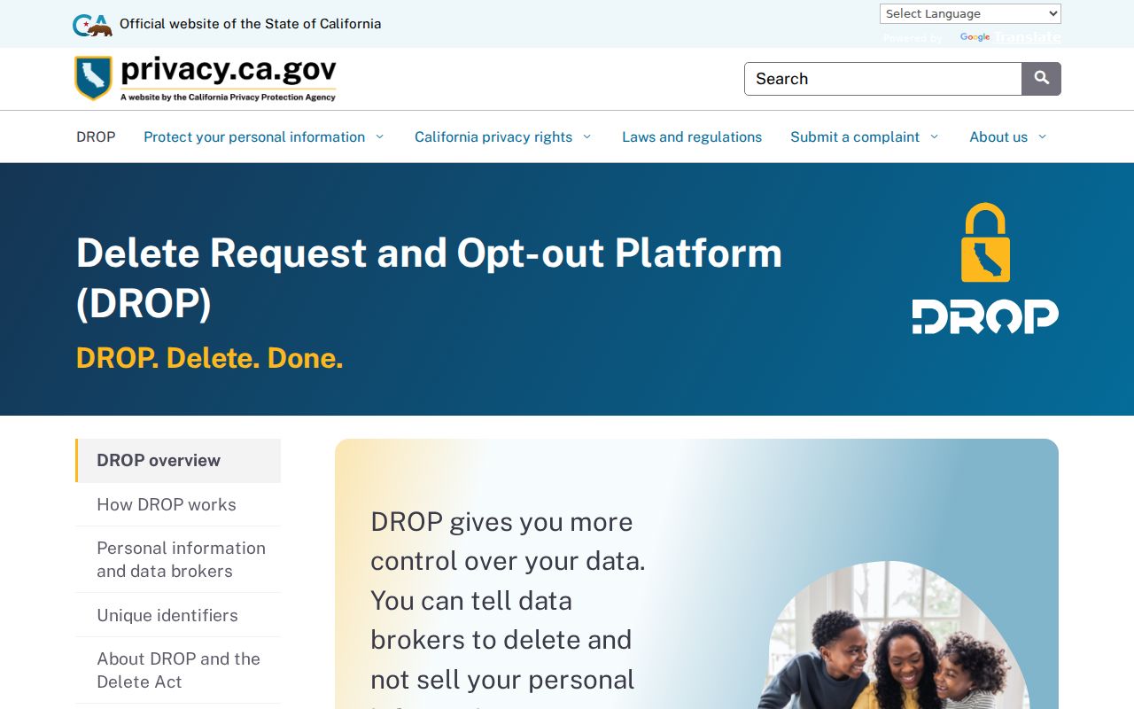
The DROP process is a privacy tool, not a block-search tool. It belongs in a data-rights workflow, separate from parcel and survey research.
Soledad Neighbors and Safe at Home
Safe at Home, created under Government Code sections 6205 through 6216, gives eligible threatened people a substitute address, mail forwarding, an agent for service, confidential voter registration, and certain DMV suppression. A protected person may therefore be absent from the ordinary address trail used by a Soledad neighbors lookup. The program limits new disclosure; it does not erase older public records. Government Code section 6209.5 also permits a specified substitute-address treatment for some deeds, changes of ownership, and deeds of trust.
The California Safe at Home guidance is the source for the program's services and limits; the program's governing laws identify the statutory framework for confidentiality and substitute-address treatment.
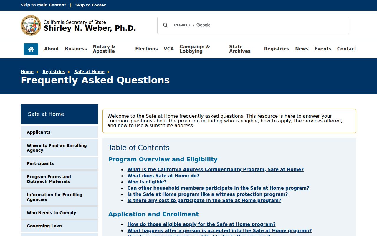
The Safe at Home reference is a reminder that an incomplete block result can reflect a lawful confidentiality program, not a missing person or a defective map.
What Soledad Neighbors Keep Private
Private occupants, non-owner household members, Safe at Home participants, utility customers, delivery data, and DMV addresses do not become public simply because a parcel is visible. DMV information is restricted by the federal Driver's Privacy Protection Act, 18 U.S.C. sections 2721-2725. The assessor and Recorder can show recorded ownership or instruments, while a court, voter, or license record has its own access rule. A missing household name is therefore often the correct result.
Use the Monterey Recorder counter, the county GIS viewer, or a narrow City Clerk request for the record that actually exists. Do not fill a gap with a guess, and do not treat a commercial compilation as an official neighbor lookup. A useful block record states what is known, what is inferred, and what remains private.
Lawful use. Soledad neighbors research is for personal, lawful purposes such as block history, reconnecting, civic questions, and safety awareness. Using records to watch, stalk, harass, intimidate, or harm anyone is prohibited and can trigger California criminal penalties.